619
510
668
967
696
541
0
1
2
3
4
5
6
7
8
9
10
11
12
13
14
15
16
17
18
19
23
24
28
29
33
34
38
39
92
99
89
94
97
87
35
31
26
26
27
27
27
32
33
31
33
29
29
31
31
33
35
37
30
28
28
36
27
34
32
30
30
120
125
118
122
123
115
0
0
0
0
0
0
52
84
18
19
34
65
Moist, soft gray FAT CLAY w/trace of
organic matter & roots
Moist, medium stiff gray FAT CLAY
w/trace of fine sand pockets & roots
Moist, stiff gray FAT CLAY
Moist, medium stiff gray & tan FAT CLAY
w/few fine sand pockets & concretions
Moist, stiff gray & tan FAT CLAY w/trace
of fine sand pockets & concretions
Moist, stiff reddish-tan & gray FAT CLAY
w/trace of concretions
Moist, medium stiff gray & reddish-brown
FAT CLAY w/trace of fine sand pockets &
concretions
Moist, stiff reddish-tan & gray FAT CLAY
w/trace of concretions
w/few fine sand layers & trace
of concretions
Moist, medium stiff to stiff reddish-tan &
reddish-brown FAT CLAY w/trace of
concretions & fine sand pockets
Moist, medium stiff gray LEAN CLAY
w/few fine sand
Moist, medium stiff to stiff gray &
reddish-tan LEAN CLAY w/trace of
concretions
CH
CH
CH
CH
CH
CH
CH
CH
CH
CL
CL
OB
OB
OB
OB
OB
OB
1A
1B
2A
2B
3A
NS
4A
4B
5A
5B
6A
6B
7A
7B
8A
8B
9A
9B
10A
10B
11A
11B
12A
12B
13A
13B
14A
14B
0.25
0.50
0.50
1.00
1.00
1.00
1.00
1.00
1.00
1.00
1.00
1.00
0.50
0.50
S
P
L
R
Visual Classification
USC
Sample
Number
Depth
in Feet
Density
Dry
pcf
Wet
pcf
Shear Tests
Atterberg Limits
Other Tests
Scale in
Feet
PP
0
5
10
15
20
25
30
35
40
45
50
SPT
Symbol
Water
Content
%
Type
C
psf
LL
PL
PI
EUSTIS_GINT_LIBRARY_4-18-2022.GLB EE STANDARD BORING LOG H0048.GPJ 8/18/22
Page 1 of 1
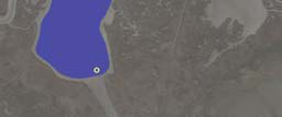
NOTES: Boring B-6 was drilled in 6 in. of water.
LOG OF BORING AND TEST RESULTS
See Text
40.0 ft
Date:
H0048
Water Depth:
Total Depth:
Project No:
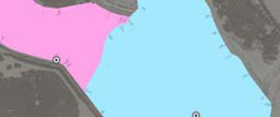
29.30320°
-94.96623°
07/17/2022
Ducks Unlimited, Inc.
Pierce Marsh Beneficial Use
Marsh Creation
Phase 1
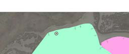
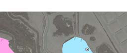
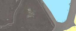
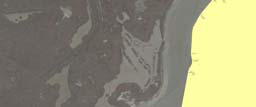
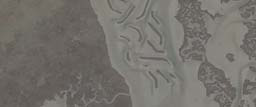
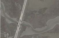
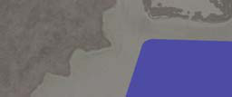
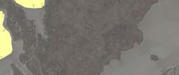
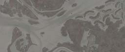
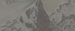
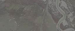
North of West Bay Near Galveston Island
Galveston County, Texas
Boring: B-6
Longitude:
Latitude: